Catalog Archive
Auction 191, Lot 556
NO RESERVE
"Partie Meridionale du Cercle de la Haute Saxe Divisee par ses Principautes", Robert de Vaugondy, Didier
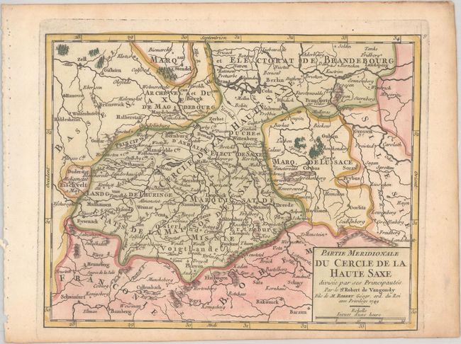
Subject: Eastern Germany
Period: 1749 (dated)
Publication: Atlas Portatif Universel et Militaire
Color: Hand Color
Size:
8 x 6.4 inches
20.3 x 16.3 cm
Download High Resolution Image
(or just click on image to launch the Zoom viewer)
(or just click on image to launch the Zoom viewer)