Subject: France, Atlases
Period: 1852 (published)
Publication:
Color: Hand Color
Size:
14.8 x 21.3 inches
37.6 x 54.1 cm
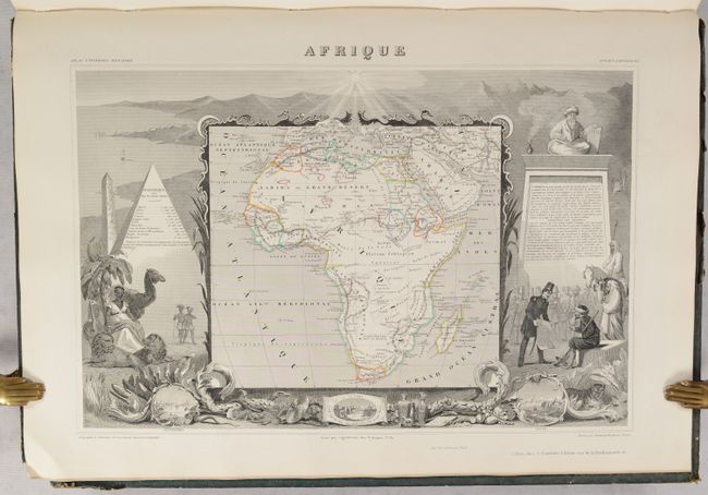
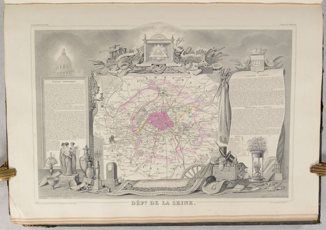
Victor Levasseur's "Atlas National Illustre" and "Atlas Universel Illustre" are among the last decorative atlases published. The maps are all lavishly illustrated with scenes of the countryside, products and activities indigenous to the region.
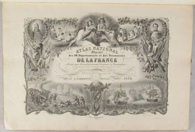
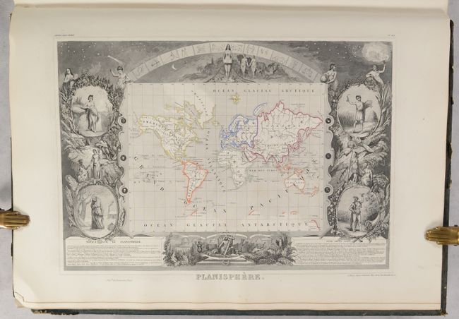
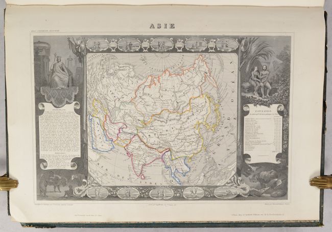
This was one of the last decorative atlases ever produced. The finely engraved title page, which sets the stage for the beautiful maps to follow, is made up of several vignettes depicting famous land and sea battles, a portrait of Napoleon I, cherubs practicing the arts and sciences, and more. In addition to the maps of the 86 individual French departments, the atlas contains maps of the world, continents, Oceania, French colonies, and France for a total of 100 maps.
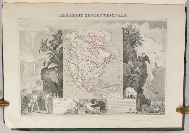
The map of North America shows the United States extending into present-day Canada reflecting the Oregon boundary dispute and Russia in control of Alaska. Texas is named and colored within the United States but engraved lines still show the republic borders. Mexico's northern border is drawn according to the Treaty of 1819 (here misprinted as 1810). The map is surrounded by beautifully engraved scenes of North and Central America including local animals, a ship stranded in the polar sea, and a Mayan temple.
Five maps show the French colonial possessions of the time and a double-page map at the back of the atlas illustrates France as a whole (Nouvelle Carte de la France). The department maps have lovely decorated borders that relate to the region, including statistical information, regional products, famous local people, and places of interest.
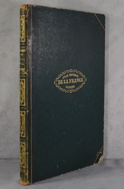
Hardbound in contemporary quarter green leather over green embossed boards with gilt title on front cover and spine, additional gilt decorations on spine, and marbled endpapers.
References:
Condition: A
The maps are clean and bright with contemporary outline color, occasional light soiling in the margins, and minor toning along the edges of the sheet. The covers are soiled and worn with chipped corners and some small abrasions. The spine is worn and rubbed.