Subject: World
Period: 1871 (circa)
Publication:
Color: Hand Color
Size:
38.1 x 27.5 inches
96.8 x 69.9 cm
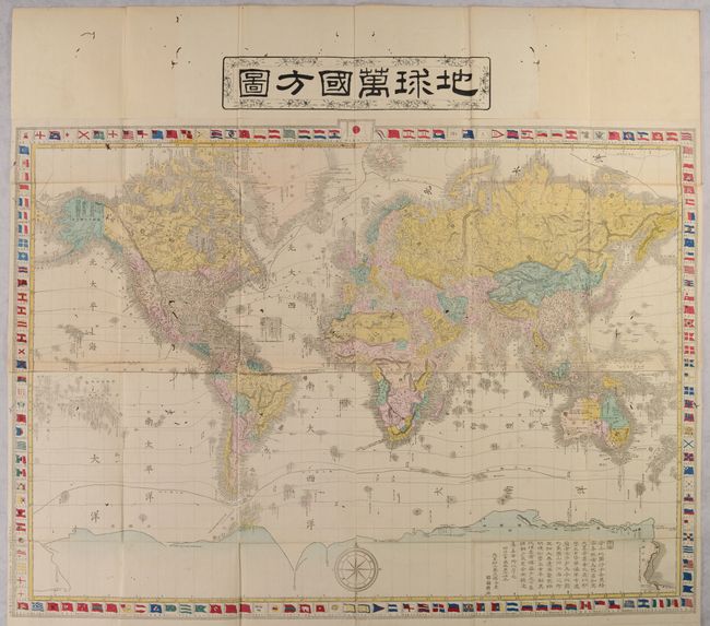
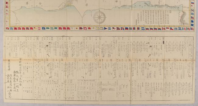
This large and elaborate Japanese map of the world is drawn on Mercator's Projection. Countries are shown in various hand colors with an emphasis on physical features including topography and drainage. Numerous place names are identified along the coastlines throughout. Isothermal lines are drawn across the map and ocean current direction is indicated by small arrows. The map is surrounded by a decorative border featuring various national flags with Japan's flag placed at top center. A substantial section of text below the map provides country-level details including major cities, railroads, currencies and more. The text also notes that this map was based on one by Samuel Augustus Mitchell in 1870. Engraved by Matsuda Ryokuzan and published by Suharaya Mohei and Suharaya Ihachi in Tokyo. The full sheet measures 38.8 x 48.5" and folds into its original paper case.
References:
Condition: B
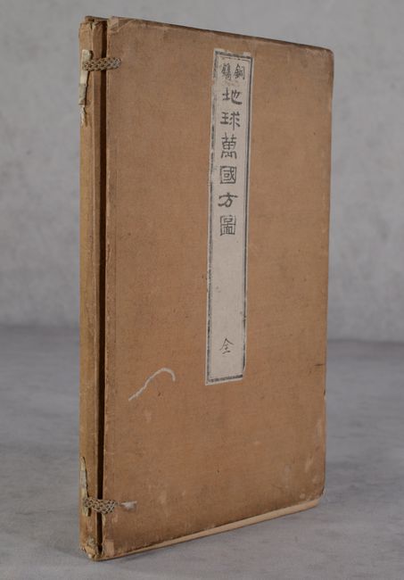
There is light toning along a couple of folds and small worm tracks throughout. Given the amount of detail on the map, the worm tracks are not very distracting. Paper case is moderately soiled and worn. Please note that the map sheet was too large to fit in a single image and includes the text panel at bottom shown in the second image.