Catalog Archive
Auction 190, Lot 91

"The River St. Lawrence, Accurately Drawn from D'Anville's Map Publish'd Under the Patronage of the Duke of Orleans", Harrison, John

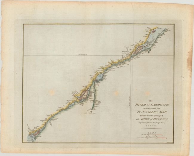
Subject: St. Lawrence River, Canada

Period: 1784 (circa)

Publication: Atlas to Accompany Rapin's History of England

Color: Hand Color

Size:
16.6 x 13.2 inches
42.2 x 33.5 cm
Download High Resolution Image
(or just click on image to launch the Zoom viewer)

A detailed map of the course of the seaway from Lake Ontario to Point Kamouraska at the mouth of the river. The map locates channels, islands, shoals, waterfalls, rocks and rapids in the river, as well as detail of the towns, forts and place names in the river valley. This depiction was drawn from an inset in D'Anville's large, four-sheet map. Engraved by Simpkins.

References: Kershaw #681; Phillips (Atlases) #5206-20; Sellers & Van Ee #251.

Condition: B+

There are three light spots in unengraved areas of the map, and a stain along the right edge of the sheet.

Estimate: $190 - $220

Sold for: $170

Closed on 11/16/2022

Archived