Catalog Archive
Auction 190, Lot 86

"Nieuwe Kaart van Terre Neuf en Nieuw Schotland Mitsgaaders de Eilanden van Breton, Anticoste, St. Johns, als mede de Platen, daar Gevischt Word", Moll, Herman

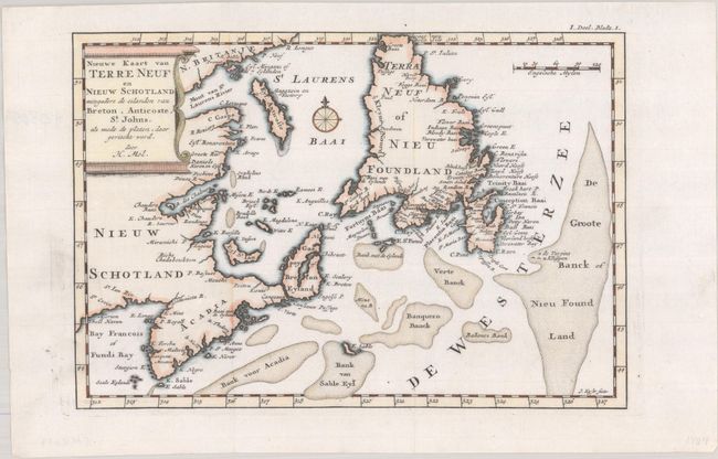
Subject: Eastern Canada

Period: 1721 (circa)

Publication: Het Britannische in America

Color: Hand Color

Size:
9.9 x 6.8 inches
25.1 x 17.3 cm
Download High Resolution Image
(or just click on image to launch the Zoom viewer)

This Dutch edition of Herman Moll's map of the Gulf of St. Lawrence was published in John Oldmixton's Het Britannische in America. It appears to be based on Thornton's two maps of 1676 and 1689, in which Acadia has a triangular shape and Newfoundland has a truncated top. The map shows particularly good detail of the fishing banks and coastlines. Decorated by a compass rose with fleur-de-lis and plinth title cartouche. This is the first time we have encountered the Dutch edition of this map.

References: Kershaw #570.

Condition: A+

A clean and bright example. Issued folding and now flat.

Estimate: $275 - $350

Sold for: $200

Closed on 11/16/2022

Archived