Subject: References, Southeastern United States
Period: 1998 (published)
Publication:
Color: Black & White
Size:
9.4 x 12.3 inches
23.9 x 31.2 cm
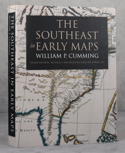
This is the very handsome third edition of the definitive cartographic reference for maps of the Colonial Southeast, revised and enlarged by Louis De Vorsey, Jr. It is a comprehensive study of the historical cartography of the southeast region of the North American continent before the American Revolution. With an annotated checklist of printed and manuscript regional and local maps detailing 450 maps issued between 1507 and 1775. The third edition nearly doubles the number of illustrations from 67 to 124, with 24 color reproductions of maps. This edition also adds a fascinating new essay by De Vorsey, Jr., "American Indians and the Early Mapping of the Southeast." University of North Carolina Press, 1998. 362 pages. Wheat cloth covered boards with title on front cover and spine and an illustrated dust jacket. Also includes a plain cardboard slipcase.
References:
Condition: A+
Like new.