Subject: North America
Period: 1798-1810 (circa)
Publication:
Color: Black & White
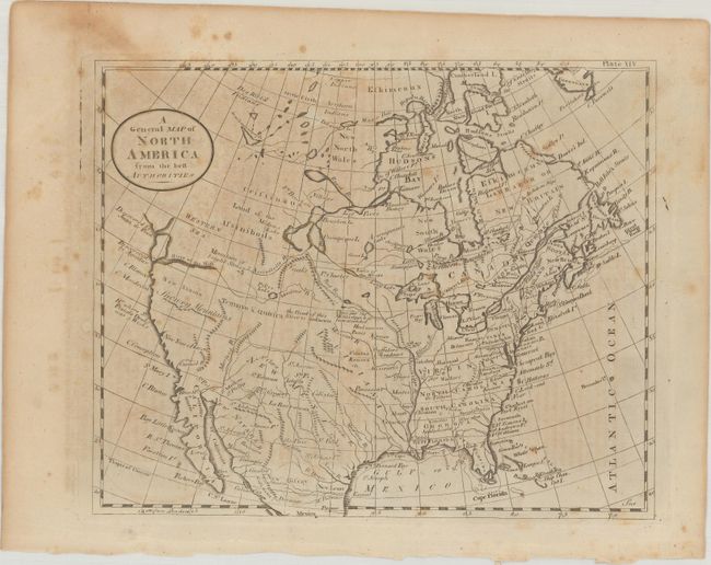
A. A General Map of North America from the Best Authorities, by Thomas Dobson, from Encyclopedia Britannica, circa 1790 (8.7 x 7.1"). This small map of North America was issued in the first American edition of the Encyclopedia Britannica. This voluminous work, based upon the third English edition, was published in 18 volumes and issued in parts from 1790-97. This map (plate XIV) was included in the first volume and shows the young United States confined to east of the Mississippi River with Louisiana and New Mexico to its west. The Missouri River is partially drawn with a note stating "The Head of this River is Unknown." The northwest portion of the continent is blank, with both a "Western Sea" and River of the West suggesting a possible Northwest Passage via a network of rivers and lakes. The West Coast is labeled New Albion with several explorer notations along the coast. Condition: Scattered foxing. (B)
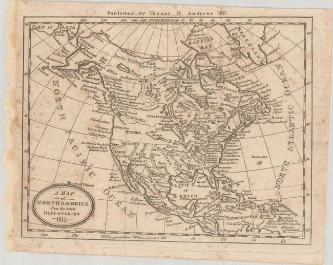
B. A Map of North America from the Latest Discoveries, by Thomas & Andrews, dated 1817 (7.4 x 5.8"). A small map of North America filled with places names. The United States is confined to east of the Mississippi River, which is connected to a River of the West linking it to the Pacific Ocean. Florida is divided between East & West, Texas is named in New Spain, and Quivira is located in the Pacific Northwest. Condition: Issued folding with scattered foxing. (B)
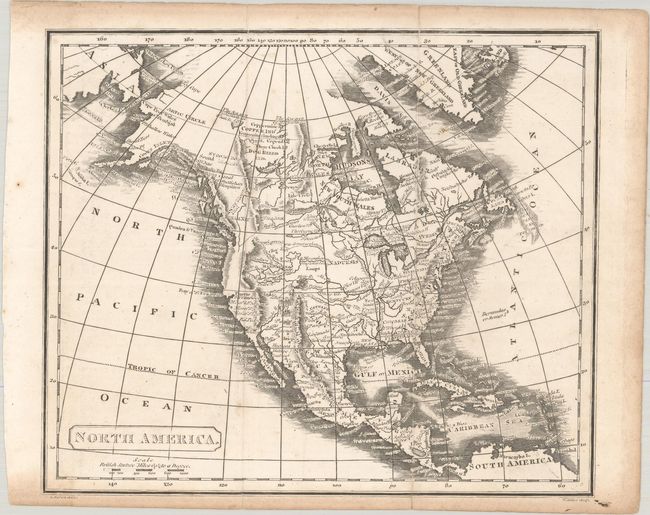
C. North America, by L. Herbert, circa 1810 (9.1 x 7.7"). This handsome map of North America prominently features rivers and mountain ranges with the Stony Mountains in Canada and the Topian Mountains in the southwestern U. S. and Mexico. Above the Missouri River is a dotted line representing the river "according to former conjectures." Numerous Indian tribes are located, and there are notes concerning the recent discoveries by Mackenzie and Hearne in the Arctic. Engraved by W. Milten. Condition: Issued folding with light toning along the sheet edges and a few fold separations that have been closed on verso with archival tape. (B+)
References:
Condition:
See description above.