Subject: References, City Plans
Period: 1978-92 (published)
Publication:
Color: Printed Color
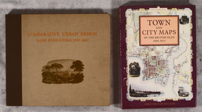
A. Comparative Urban Design - Rare Engravings, 1830-1843, by Melville C. Branch, published 1978 (14.5 x 12.8"). This terrific reference focuses on urban planning through the lens of the city plans of the Society for the Diffusion of Useful Knowledge (SDUK). It covers 40 major cities, including New York, Constantinople, Calcutta, Paris, London, Berlin, Madrid, Rome, Amsterdam, Moscow, and Philadelphia. All of the cities are accompanied by a reproduction of the SDUK plan and in-depth text on the history and planning of the city by Branch, an urban planner and educator. 108 pages. Hardbound in brown cloth with gilt title and illustration on cover. Gilt title printed twice on spine. Condition: The text block is cracked, but contents still very much intact, and there is a short edge tear on the title page. Corners are slightly bumped, and there is minor shelf wear. (B+)
B. Town and City Maps of the British Isles 1800-1855, by Ashley Baynton-Williams, published 1992 (10.5 x 14.3"). This beautifully illustrated reference focuses on intricately decorated maps of English cities. It features an interesting selection of 56 town and city views, all in full color, representing the work of nine leading cartographers, including Tallis, Moule, and Cole & Roper. Hardbound with pictorial dust jacket protected by Mylar. 128 pages. Condition: Near fine. (A)
References:
Condition:
See description above.