Subject: History Books, Roman Empire
Period: 1750 (circa)
Publication:
Color: Black & White
Size:
9.8 x 13.3 inches
24.9 x 33.8 cm
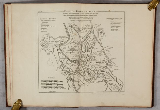
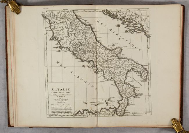
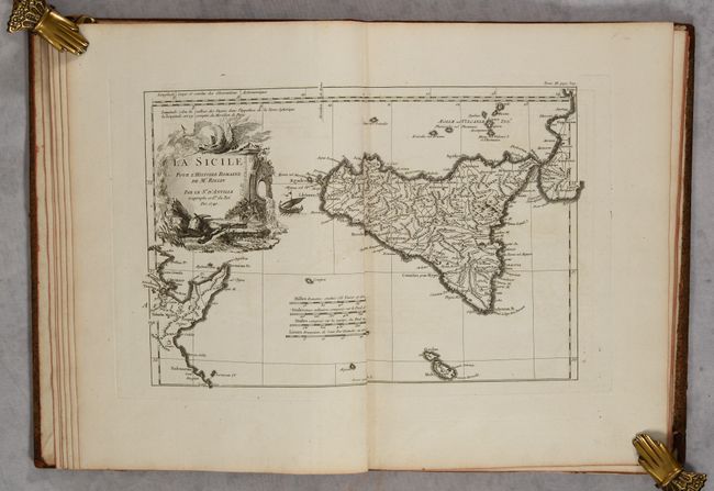
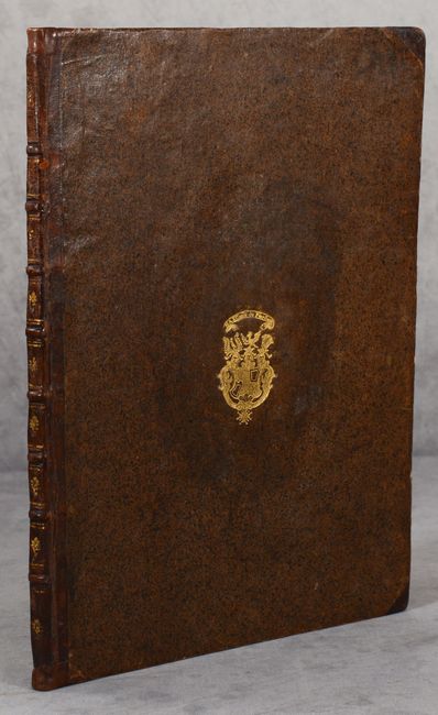
This atlas was created to accompany Rollin's history on the Roman Empire, and is comprised of 12 maps: Les Environs de Rome; Plan de Rome Ancienne; L'Italie; Carte de l'Italie; Carte pour l'Expedition d'Ennibal et sur Laquelle son Passage en Italie; La Sicile; L'Espagne; La Grece; La Gaule Cisalpine; La Numidie; Carte de la Province Romaine dans la Gaule; La Gaule. The maps are densely engraved and show towns and regions with ancient place names, roads, rivers, and topograpy. No text or title page are included in this volume. Hardbound in speckled leather boards with a gilt embossed coat of arms of "Max comte de Preysins" on front cover; leather spine with raised bands and gilt tooling.
References:
Condition:
Maps range in condition from near fine (A) to very good (B+) with occasional offsetting, soiling, or a spot of foxing. Covers are a bit worn with bumped corners and there are some cracks along the spine and a small chips at top that has been repaired.