Subject: Atlases
Period: 1864 (circa)
Publication:
Color: Hand Color
Size:
14.8 x 21.5 inches
37.6 x 54.6 cm
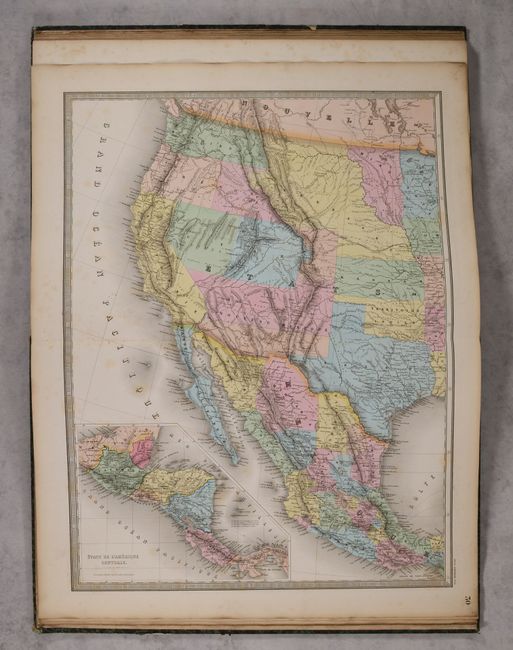
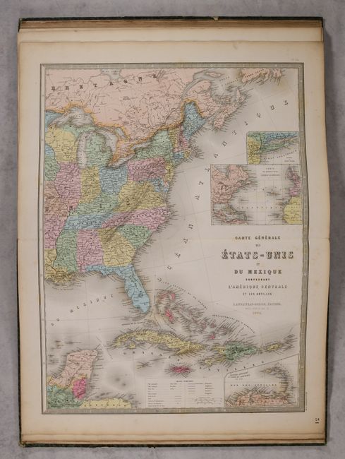
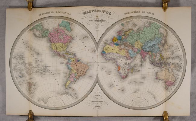
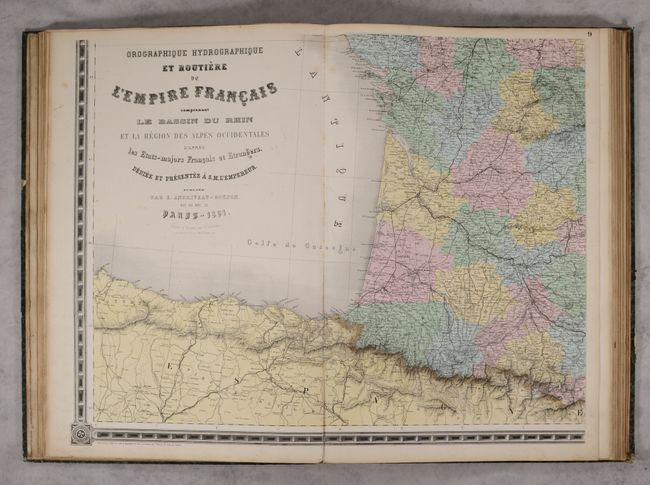
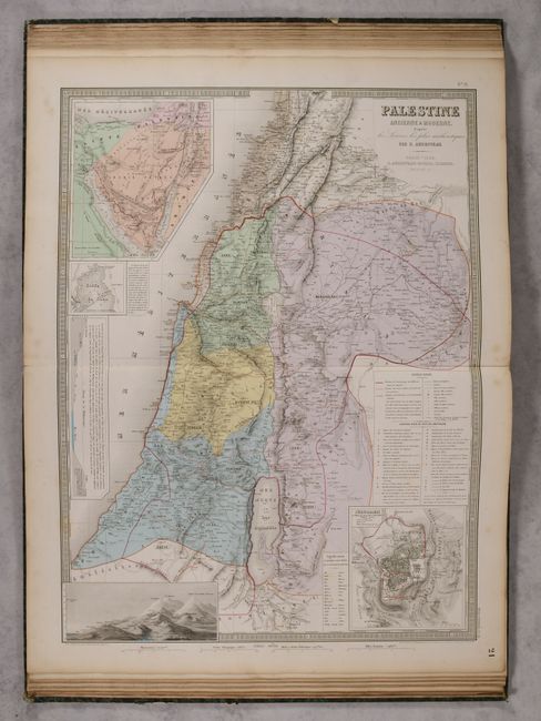
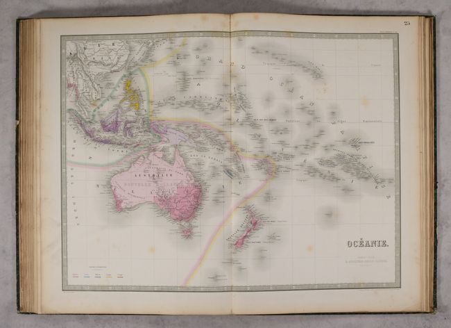
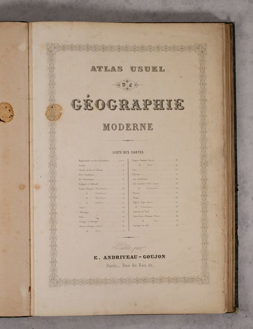
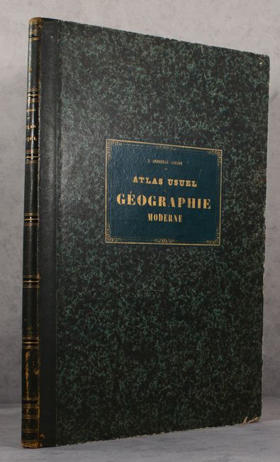
This tall modern atlas is complete with 31 maps, including an attractive folding map of the world and an impressive 4-sheet map of France. Geographically, there are maps of the world (1), Europe (16), Asia (6), Oceania (1), Africa (3), North America (3), and South America (1). Of particular interest is the 2-sheet Carte Generale des Etats-Unis et du Mexique Comprenant l'Amerique Centrale et les Antilles (18.3 x 24.3") which depicts the political rarity of Colona in today's Colorado. Superb provisional western territorial boundaries include Dagotah Territory lying in the region between Minnesota and the Missouri River, Nebraska taking in the rest of the region up to the Rocky Mountains, and Nevada and Utah territories stretching between California and Colona. The large territory of New Mexico has lost its southern third to General Baylor's short-lived Confederate Territory of Arizona. Washington stretches all the way to the Continental Divide. Oregon has gained statehood but lost its eastern lands, destined to eventually become the southern portion of Idaho, here named Shoshone and only extending up to Washington; a most unusual configuration. Circa date is based upon the date on the world map (most of the other maps are dated 1861-63). Hardbound in green quarter leather over marbled boards with gilt title on spine.
References:
Condition: B+
The maps are mostly very good with light scattered foxing throughout. The map of Britain has a 5.5" tear, Germany has a 3" tear, and the map of North America is moderately foxed. Binding has light wear with bumped corners.