Subject: Atlases
Period: 1824 (published)
Publication:
Color: Hand Color
Size:
9.5 x 10.9 inches
24.1 x 27.7 cm
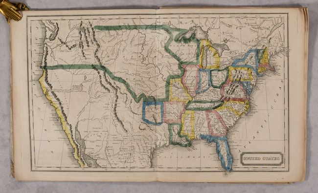
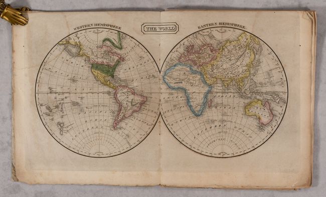
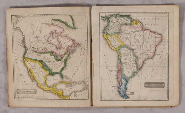
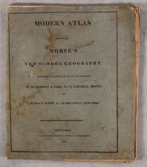
This complete atlas consists of six single-page maps and two double-page maps of The World and the United States. The U.S. map shows the Arkansaw Territory in its larger configuration (the coloring does not match the engraved border), in addition to a large Missouri Territory. The northwestern boundary between the United States and the British possessions in Canada is not delineated reflecting the joint occupation of the Oregon territory. Mexico occupies the American Southwest and Texas. The atlas also includes maps of North America, South America, Europe, the British Islands, Asia, and Africa. Published by E. Bliss & E. White in New York. Gray paper wrappers with advertisement for Morse’s A New System of Geography, Ancient and Modern… on back cover.
References:
Condition: B
Maps range from good to near fine with a few spots of foxing and light printer's ink residue. The double-page map of the United States is in "A" condition. The maps of the world and Africa have light dampstains, and the sheet with maps of Europe/Britain is loose. Wrappers have a large dampstain and a few small holes.