Subject: Atlases
Period: 1790 (circa)
Publication:
Color: Hand Color
Size:
8.3 x 11.1 inches
21.1 x 28.2 cm
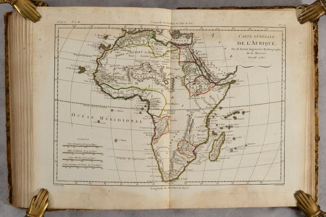
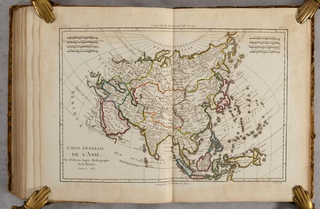
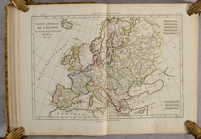
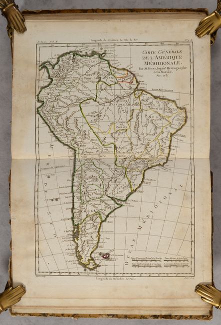
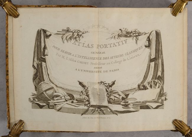
This comprehensive atlas volume contains 91 of 92 double-page maps covering both the ancient and modern world (missing the map of the Poitou region of France). The maps are dated between 1780-1790 and most are engraved by Perrier with lettering by Andre. There are 4 maps of the world and oceans, 62 related to Europe, 13 related to Asia, 5 related to Africa, and 6 of the Americas. Title page is at the back of the volume. Some of the noteworthy maps in this atlas include:
Carte Generale de l'Amerique Septentrionale (12.5 x 8.3"). A great map of North America displaying some of the most intriguing cartographic mis-mapping of the late eighteenth century. The most apparent deviation is the huge Mer de l' Ouest, complete with several fictitious islands and the fabled wealthy city of Quivira on its southern shore. This sea is connected to the Pacific by the Entre of Jean de Fuca and the Entre de Martin d' Aguilar. In the middle of Canada is a gigantic Grande Eau from which flows the mythical R. de los Reyes (a remnant of the Northwest Passage theories). Also striking is the treatment of Alaska, shown as a vast group of islands, the most prominent of which is named Alaschka. Longitude is measured from Paris on lower scale and from I'Isle de Fer on upper. With seven distance scales.
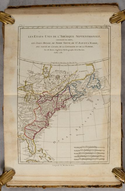
Les Etats Unis de l'Amerique Septentrionale (8.4 x 12.6"). This Revolutionary War period map acknowledges the independence of the United States, reflecting French sympathies with the Americans. The map shows the United States confined to east of the Appalachians, delineates states, and names numerous cities and towns. To the west is Louisiane where the fictitious Isle Pontchartrain is located in Lake Superior.
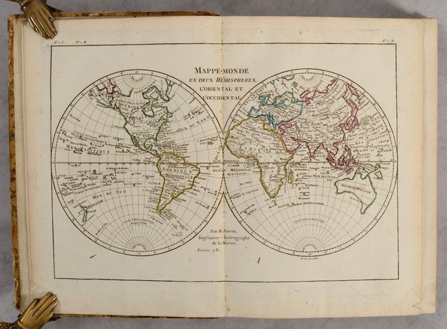
Mappe-Monde en Deux Hemispheres, l'Oriental et l'Occidental (12.9 x 8.5"). This attractive double-hemisphere world map depicts Greenland and the Arctic attached to North America. The Pacific Northwest is distinguished by the huge Sea of the West and a Northwest Passage connects Hudson Bay with the Pacific through a network of rivers and lakes. The United States is named and confined along the eastern seaboard, and the entire western region is blank with the only place name being C. Mendocino. Alaska has a rudimentary form and the Sandwich Islands are located. Tasmania is attached to Australia and both islands of New Zealand are depicted.
Hardbound in quarter tan leather over marbled paper-covered boards with title label on spine.
References:
Condition: B
The maps have contemporary outline color and range from fair to very good with most being good. There are dampstains and some occasional mildew stains along the sheet edges that sometimes enter the map borders, and is more prominent in the second half of the volume. The map of Silesia is loose. Covers and spine are heavily worn. Front cover is nearly detached and the rear board is starting.