Catalog Archive
Auction 190, Lot 65

"Isles, Caps et Ports de Mer de l'Amerique", Clouet, Jean Baptiste Louis

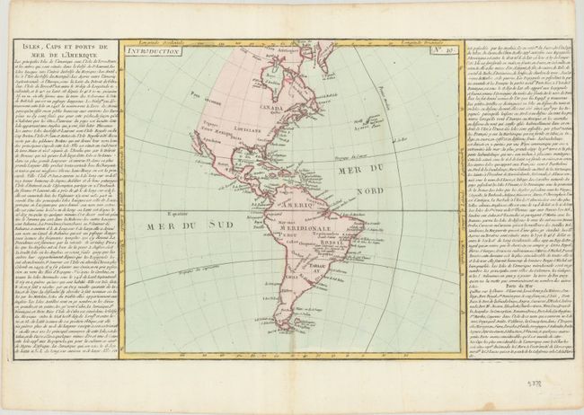
Subject: Western Hemisphere - America

Period: 1787 (circa)

Publication:

Color: Hand Color

Size:
21.8 x 12.4 inches
55.4 x 31.5 cm
Download High Resolution Image
(or just click on image to launch the Zoom viewer)

This map of the Americas is presented in a style that gained great popularity in France at the end of the 18th century, where the map is flanked by lengthy text panels. The map itself presents very little inland detail and the western coast of North America is not delineated and noted as Parts Unknown (Pays inconnu). There is good detail of the coastline along both continents naming places such as Long Island, Charlestown and Cape Horn. The map size is 13.5" x 12.5".

References:

Condition: A

A crisp impression with a minor stain around the centerfold at bottom and a small dampstain at bottom right.

Estimate: $100 - $130

Sold for: $75

Closed on 11/16/2022

Archived