Catalog Archive
Auction 190, Lot 626
"Carte Generale des Isles, dont les Figures Ci-Dessus Offrent un Plus Ample Detail", Bonne, Rigobert
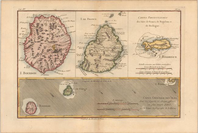
Subject: Indian Ocean Islands
Period: 1780 (circa)
Publication: Atlas de Toutes les Parties Connues du Globe Terrestre
Color: Hand Color
Size:
12.4 x 8.3 inches
31.5 x 21.1 cm
Download High Resolution Image
(or just click on image to launch the Zoom viewer)
(or just click on image to launch the Zoom viewer)