Catalog Archive
Auction 190, Lot 60

"Americae Mappa Generalis Secundum Legitimas Projectionis Stereographicae Regulas Relationesque Recentissimas et Observationes...", Haas/Homann Heirs

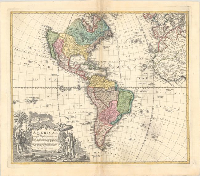
Subject: Western Hemisphere - America

Period: 1746 (dated)

Publication:

Color: Hand Color

Size:
21.5 x 18.5 inches
54.6 x 47 cm
Download High Resolution Image
(or just click on image to launch the Zoom viewer)

This is a handsome, decorative eighteenth century map of the Americas with considerable detail throughout. It extends to the western part of Africa and southwest Europe. There is only an amorphous coastline shown above the peninsular California, with the Pacific Northwest left blank. The very large title cartouche includes two erupting volcanoes, Native Americans, palm trees, sugar cane, parrots, and a pot of gold. Johann Matthias Haas was a professor of mathematics at Wittenberg, and he worked with the Homann Heirs updating their map stock.

References:

Condition: B+

A crisp impression on watermarked paper with light toning along the centerfold, printer's ink residue at bottom right, and a light dampstain in the lower margin at center.

Estimate: $400 - $475

Sold for: $350

Closed on 11/16/2022

Archived