Catalog Archive
Auction 190, Lot 568

"L'Impero della Persia Diviso ne suoi Stati", Zatta, Antonio

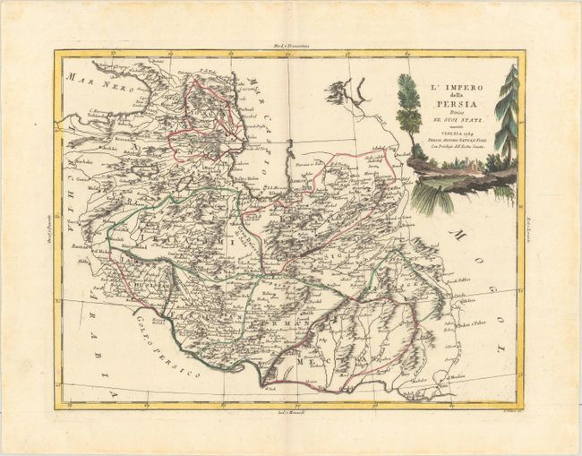
Subject: Persia - Iran

Period: 1784 (dated)

Publication: Atlante Novissimo

Color: Hand Color

Size:
16 x 12.3 inches
40.6 x 31.2 cm
Download High Resolution Image
(or just click on image to launch the Zoom viewer)

A delicately engraved map of Iran showing the Persian Gulf and a bit of Iraq. Baghdad is at the left of the map and Armenia, Georgia, Azerbaijan, Kurdistan are named. It is well-detailed with topography, political divisions and scores of towns. An attractive landscape cartouche fills the upper right. Engraved by G. Pitteri.

References: Shirley (BL Atlases) T.ZAT-1, Vol 4 #4.

Condition: A

Contemporary color on a bright sheet of paper with the watermark of three crescent moons and a hint of toning along the centerfold.

Estimate: $200 - $230

Unsold

Closed on 11/16/2022

Archived