Catalog Archive
Auction 190, Lot 527

"Nieuwe Kaart van't Eiland Maltha met Gozo en Comino...", Tirion, Isaac
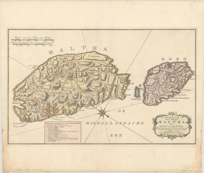
Subject: Malta

Period: 1761 (dated)

Publication: Nieuwe en Beknopte Hand Atlas

Color: Hand Color

Size:
18.1 x 11.1 inches
46 x 28.2 cm
Download High Resolution Image
(or just click on image to launch the Zoom viewer)

Handsome, large map of the Maltese Islands with superb detail of the topography, roads, villages and fortifications. The important forts, harbors and Valetta are particularly well illustrated with a key locating important sites. A nice compass rose orients north in the lower right corner.

References: Shirley (BL Atlases) T.TIR-2a.

Condition: A

A crisp impression with full contemporary color on a bright sheet with a large Strasbourg Lily watermark. There are minor dampstains and a few small chips along the sides of the sheet, not affecting the image.

Estimate: $450 - $550

Sold for: $250

Closed on 11/16/2022

Archived