Catalog Archive
Auction 190, Lot 517

"Romandiola cum D. Parmensi", Mercator/Hondius

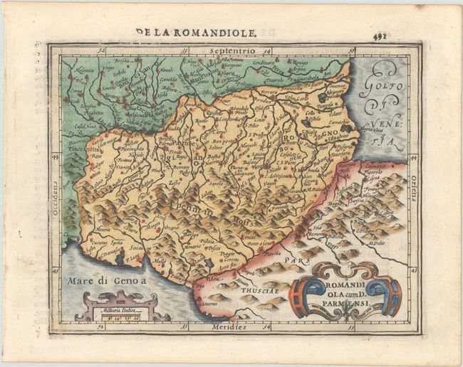
Subject: Central Italy

Period: 1609 (circa)

Publication: Atlas Minor

Color: Hand Color

Size:
7.1 x 5.6 inches
18 x 14.2 cm
Download High Resolution Image
(or just click on image to launch the Zoom viewer)

This charming small map of the Emilia-Romagna region exhibits fine topographical detail and scores of place names. The map extends from Brescia in the north to Livorno in the south and is adorned with strapwork title and scale cartouches. French text on verso, published in either 1609 or 1613.

References: Van der Krogt (Vol. III) #7014:351.

Condition: A

Nice impression and color with a tiny dampstain in the bottom left corner of the border.

Estimate: $110 - $140

Sold for: $40

Closed on 11/16/2022

Archived