Catalog Archive
Auction 190, Lot 499

"Les Isles et Coste de la Dalmatie ou se Trouvent la Republique de Raguse et Partie de la Servie &c.", Leth, Hendrik de

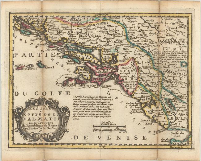
Subject: Western Balkans

Period: 1740 (circa)

Publication: Nouvel Atlas Geographique & Historique...

Color: Hand Color

Size:
8.7 x 6.4 inches
22.1 x 16.3 cm
Download High Resolution Image
(or just click on image to launch the Zoom viewer)

This map depicts the western coastline of the Balkans from southern Croatia to northern Albania. There is good detail in the interior, with a note on the region in the Adriatic Sea. For his Nouvel Atlas, Leth made close copies of Jacques Chiquet's maps published in Le Nouveau et Curieux Atlas in 1719.

References: Shirley (BL Atlases) T.LETH-1a.

Condition: B+

A dark impression with contemporary outline color, issued folding with light toning along the folds and fold separations that have been archivally repaired on verso.

Estimate: $95 - $120

Sold for: $70

Closed on 11/16/2022

Archived