Catalog Archive
Auction 190, Lot 418

"Agri Parisiensis Tabula Particularis, qua Maxima Pars Insulae Franciae...", Homann, Johann Baptist

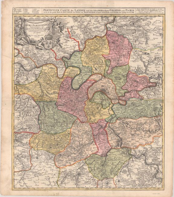
Subject: Northern France, Paris

Period: 1720 (circa)

Publication:

Color: Hand Color

Size:
18.9 x 22.6 inches
48 x 57.4 cm
Download High Resolution Image
(or just click on image to launch the Zoom viewer)

A detailed map that is roughly centered on Paris and extends outward to the cities of Ablis, Messe, Herissy, Senlies, and Mante. The fortifications around Paris are depicted, and the surrounding countryside is filled with farmland, forests, and small villages. A banner-style title cartouche is held aloft by putti.

References:

Condition: B+

Full contemporary color with a printer's crease and an archivally repaired edge tear at left that just touches the border.

Estimate: $180 - $220

Sold for: $130

Closed on 11/16/2022

Archived