Catalog Archive
Auction 190, Lot 417

"Flandriae Comitatus Pars Australis, in Castellaniam Insulanam, Balliviatum Duacensem, Territorium Tornacensem...", Visscher/Schenk

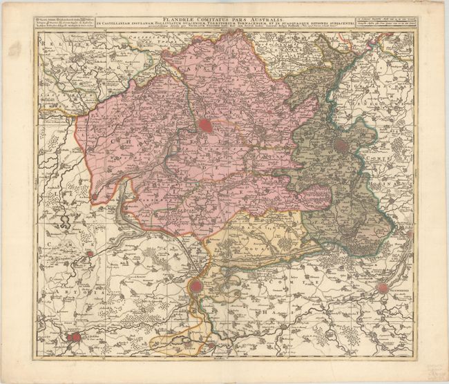
Subject: Northern France

Period: 1690 (circa)

Publication:

Color: Hand Color

Size:
21.5 x 19.3 inches
54.6 x 49 cm
Download High Resolution Image
(or just click on image to launch the Zoom viewer)

A superbly engraved depiction of southern Flanders along the northern border of France, extending a bit into Belgium. The map is centered approximately on Lille and includes Menen, Tournai, Valenciennes, Douai, Arras and Bailleul. The cities and topography are shown pictorially, a miniature plan representing the fortified cities.

References:

Condition: A

A crisp impression with full contemporary color on a bright sheet with soiling and tiny tears along the top edge of the sheet.

Estimate: $160 - $190

Sold for: $90

Closed on 11/16/2022

Archived