Subject: Wisconsin
Period: 1873 (circa)
Publication:
Color: Hand Color
Size:
17.4 x 20.8 inches
44.2 x 52.8 cm
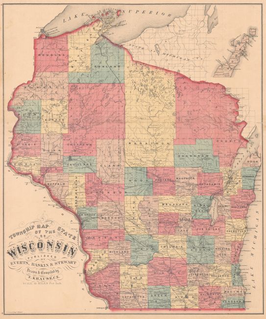
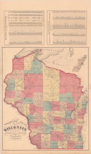
This scarce map was compiled and drawn by Frank Krause and published in an atlas for Walworth County, Wisconsin. It is delineated by county and township and locates towns and villages, railroads, rivers, lakes and more. Above the map are population tables for the state revealing that the population surged from approximately 31,000 in 1840 to over 1 million residents by 1870. Despite this growth, the northeast portion of the state above Green Bay is still void of settlement.
References:
Condition: B+
Issued folding with a couple of small fold separations and short edge tears that have all been closed on verso with archival tape.