Catalog Archive
Auction 190, Lot 242

"Rhode Island", Payne, John

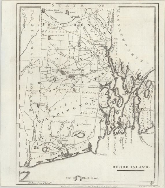
Subject: Rhode Island

Period: 1800 (circa)

Publication: Payne's Geography

Color: Black & White

Size:
7.4 x 9.4 inches
18.8 x 23.9 cm
Download High Resolution Image
(or just click on image to launch the Zoom viewer)

This small but striking map of Rhode Island is from Payne's Geography, published by John Low. Counties, roads, ponds, rivers, swamps, and towns and cities are shown. Unengraved portions of Massachusetts and Connecticut appear as well. Engraved by William Barker.

References: McCorkle (18th C. Geography Books) #330, Vol. IV [7]; Wheat & Brun #255.

Condition: A

A sharp impression on a bright sheet with narrow margins at top and bottom, with partial loss of the publisher's imprint at bottom.

Estimate: $160 - $190

Sold for: $120

Closed on 11/16/2022

Archived