Subject: Montana, Wyoming & Yellowstone
Period: 1872 (published)
Publication:
Color: Black & White
Size:
5.8 x 9.1 inches
14.7 x 23.1 cm
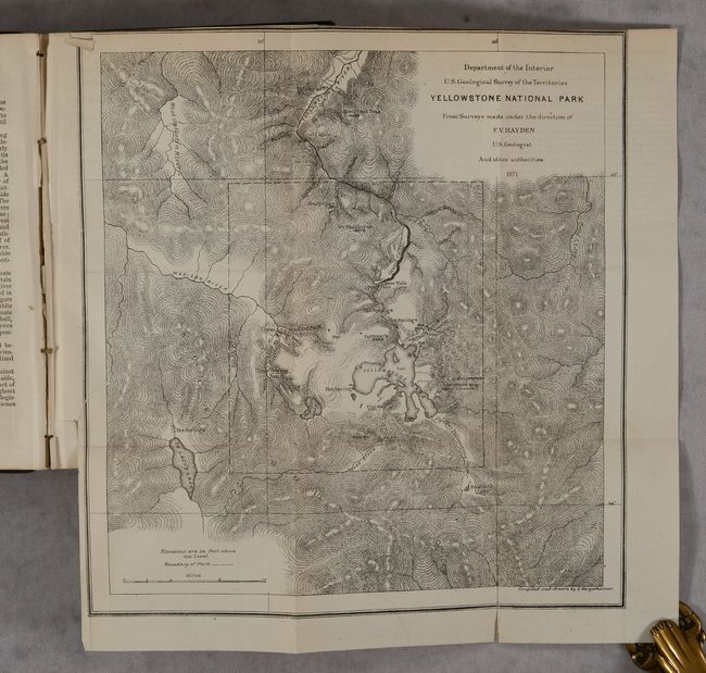
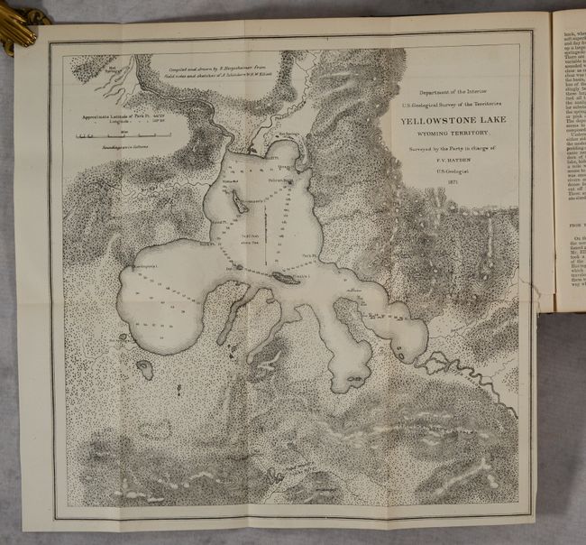
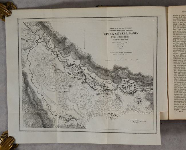
Hayden, an American geologist, led the first federally-funded geological survey of Montana, Wyoming, and the Yellowstone region in 1871. The following year he published his findings in this report, which was presented to Congress and was instrumental in convincing Congress to establish Yellowstone as the first National Park in the United States. The report includes 5 folding maps and numerous in-text illustrations of geysers, geological formations, and more (this example is missing the 2 insect plates). The maps included are:
A. Yellowstone National Park (11.2 x 11.9").
B. Yellowstone Lake Wyoming Territory (14.8 x 14.5").
C. Lower Geyser Basin Fire Hole River Wyoming Territory (10 x 11.1").
D. Upper Geyser Basin Fire Hole River Wyoming Territory (11.5 x 9.2").
E. White Mountain Hot Springs, Gardiner's River (6.7 x 7.2").
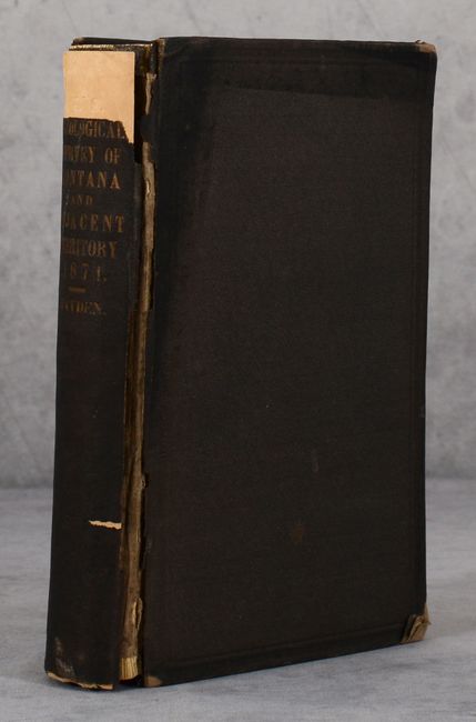
Octavo, 538 pages. Hardbound in original brown cloth with gilt title on spine.
References:
Condition: B+
Contents are clean, bright and near fine. The Yellowstone National Park map has a 0.5" binding tear at left that has been closed on verso with archival tape. Front hinge is starting and the spine backstrip is chipped at top and loose on one side. Covers are lightly worn with bumped edges.