Subject: Southwestern United States
Period: 1968 (dated)
Publication:
Color: Printed Color
Size:
27.7 x 20.5 inches
70.4 x 52.1 cm
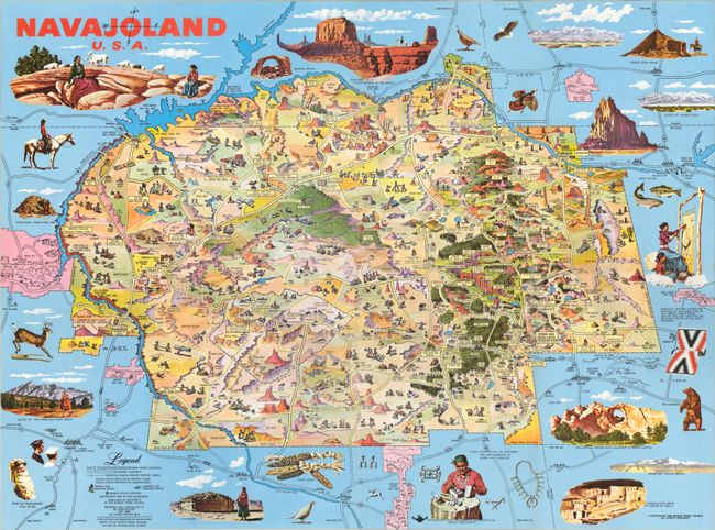
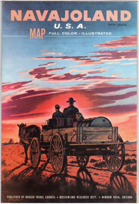
This stunning pictorial map of the Navajo Nation was drawn by illustrator Don Bloodgood for the Navajo Tribal Council. It depicts the 16,000,000 acre stretch of land in northeastern Arizona, northwestern New Mexico, and southeastern Utah. Bloodgood fills the landscape with small illustrations showcasing Navajo culture and the region's many landmarks and sites of interest. Larger illustrations surrounding the map depict Monument Valley, sheep raising, rug weaving, Window Rock, several sacred mountains, and more. A legend at bottom indicates highways, "primitive roads," Navajo rug weaving areas, airports or landing strips, and tribal police stations. Second edition. Self-folding into pictorial wrappers.
References:
Condition: A
Clean and colorful, issued folding.