Catalog Archive
Auction 190, Lot 148

NO RESERVE

"Map of the States of Pennsylvania, and New Jersey", Hinton, John

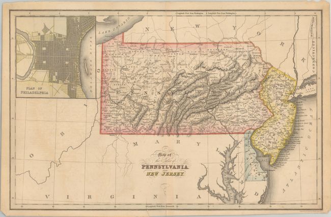
Subject: Mid-Atlantic United States

Period: 1832 (circa)

Publication:

Color: Hand Color

Size:
15.4 x 9.9 inches
39.1 x 25.1 cm
Download High Resolution Image
(or just click on image to launch the Zoom viewer)

This finely detailed map also shows all of Delaware, although it is not listed in the title. Pennsylvania has only one railroad, connecting Philadelphia with Columbia on the Susquehanna River. No rail lines exist in either of the other states. Features a large inset plan of Philadelphia. Engraved and printed by Fenner Sears & Co. This map was published in The History and Topography of the United States and An Atlas of the United States of North America, both by John Hinton.

References: Phillips (Maps) p. 681.

Condition: B+

There is light offsetting and minor toning along the centerfold.

Estimate: $120 - $150

Sold for: $130

Closed on 11/16/2022

Archived