Catalog Archive
Auction 189, Lot 622

"India Shewing the Post Roads and Dawk Stations", Wyld, James
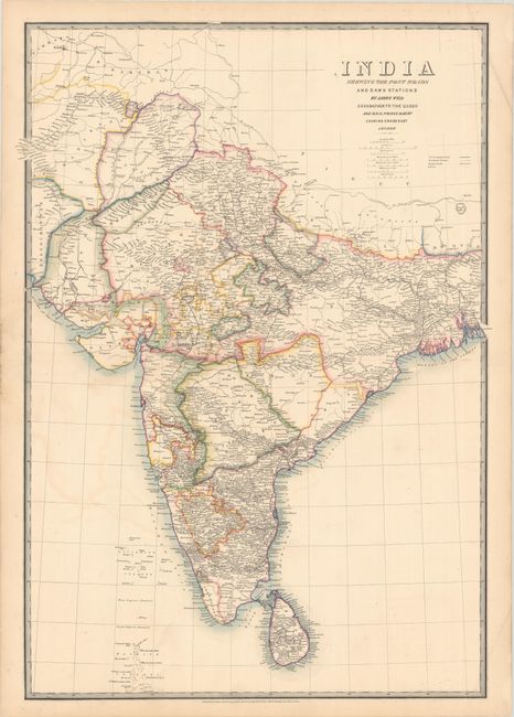
Subject: India

Period: 1849 (circa)

Publication:

Color: Hand Color

Size:
21.3 x 30.3 inches
54.1 x 77 cm
Download High Resolution Image
(or just click on image to launch the Zoom viewer)

This English map of India emphasizes transportation routes, showing postal routes, banghy roads, and railways. The map was published after the first wave of railways in India, but before the first passenger trains. It also delineates political divisions and identifies numerous towns and cities.

References:

Condition: B+

Contemporary outline color with light offsetting and an extraneous crease across the top right corner.

Estimate: $275 - $350

Sold for: $325

Closed on 9/14/2022

Archived