Catalog Archive
Auction 189, Lot 613

"Isles Moluques", Le Rouge, George Louis

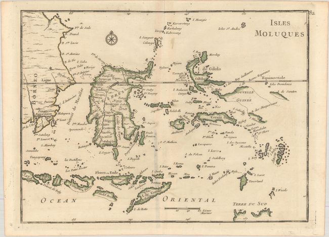
Subject: East Indies - Indonesia, Moluccas

Period: 1748 (circa)

Publication: Atlas Nouveau Portatif…

Color: Hand Color

Size:
10.7 x 7.9 inches
27.2 x 20.1 cm
Download High Resolution Image
(or just click on image to launch the Zoom viewer)

This map of eastern Indonesia covers the famous Spice Islands and includes a bit of the northern coastline of Australia, labeled Terre du Sud. While quite detailed, many of the islands are still inadequately mapped, owing to the poor dissemination of geographical knowledge of the area between the European powers, as each tried to maintain their hold on the lucrative spice trade.

References:

Condition: B+

Contemporary outline color on a sheet with a griffin watermark and some staining along the centerfold.

Estimate: $120 - $150

Unsold

Closed on 9/14/2022

Archived