Catalog Archive
Auction 189, Lot 564

"Terra Sancta ubi Regnum Israel", Duval, Pierre
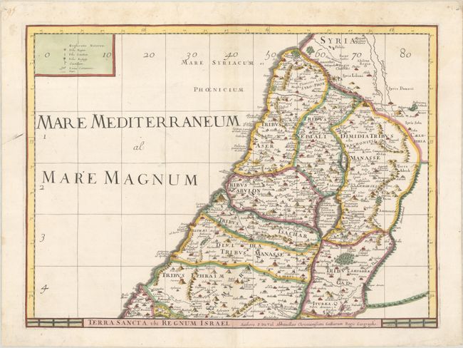
Subject: Holy Land

Period: 1677 (dated)

Publication: Cartes de Geographie les Plus Nouvelles et les Plus Fideles…

Color: Hand Color

Size:
21 x 15.4 inches
53.3 x 39.1 cm
Download High Resolution Image
(or just click on image to launch the Zoom viewer)

This is the northern half of a two-sheet map of the Holy Land that stands on its own with full borders. The map divides the region into the Twelve Tribes of Israel and covers the coastline from Sidon to Joppa. This is a later edition with the addition of a graticle that have been numbered along the top and left sides of the map.

References: Laor #261; Pastoureau, DUVAL II D.

Condition: A

A crisp impression on a bright sheet with the watermarks of a large coat of arms and "B [heart] C." There is minor toning along the centerfold and marginal soiling.

Estimate: $160 - $190

Sold for: $100

Closed on 9/14/2022

Archived