Catalog Archive
Auction 189, Lot 509
"Rhetiae Alpestris Descriptio, in qua Hodie Tirolis Comitatus [on sheet with] Goritiae, Karstii, Chaczeolae, Carniolae, Histriae, et Windorum Marchae Descrip.", Ortelius, Abraham
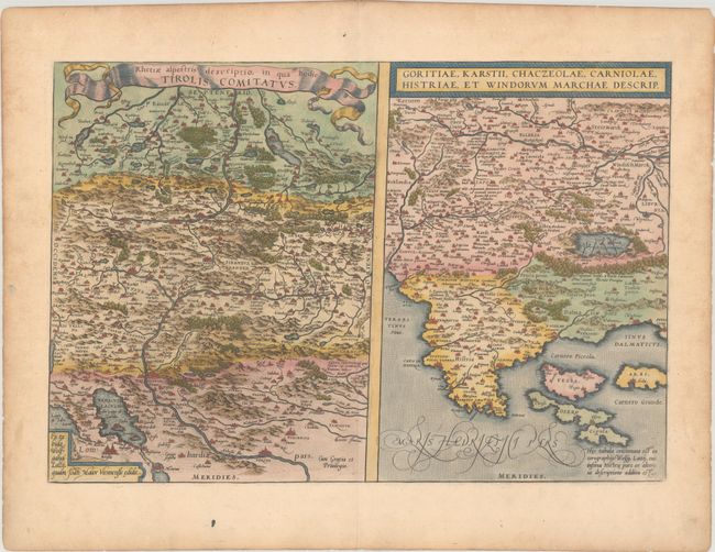
Subject: Southern Europe
Period: 1575 (published)
Publication: Theatrum Orbis Terrarum
Color: Hand Color
Size:
19.6 x 13.4 inches
49.8 x 34 cm
Download High Resolution Image
(or just click on image to launch the Zoom viewer)
(or just click on image to launch the Zoom viewer)