Catalog Archive
Auction 189, Lot 488

"Ost Preussen II. Bl.", Schraembl, Franz Anton

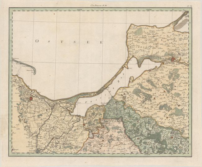
Subject: Northeastern Poland & Kaliningrad

Period: 1800 (circa)

Publication: Allgemeiner Grosser Atlas

Color: Hand Color

Size:
22.3 x 18.1 inches
56.6 x 46 cm
Download High Resolution Image
(or just click on image to launch the Zoom viewer)

This is one of the central sheets in a 5-sheet map of eastern Prussia, which included eastern Poland, present-day Kaliningrad, and part of Lithuania. Each of the sheet could stand on its own with full borders. This sheet focuses on the region along the Baltic Sea from Gdańsk to the city of Kaliningrad, and is filled with towns, roads, political boundaries, rivers, and forests. The larges cities are depicted as miniature fortified plans.

References: Rumsey #12498.118.

Condition: A

A nice impression on a sturdy, watermarked sheet with a small worm hole in the image.

Estimate: $200 - $230

Unsold

Closed on 9/14/2022

Archived