Catalog Archive
Auction 189, Lot 468

"Partie Septentrionale du Royaume de Portugal", Robert de Vaugondy, Gilles

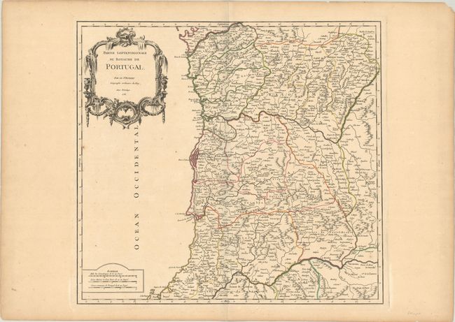
Subject: Northern Portugal

Period: 1751 (dated)

Publication: Atlas Universel

Color: Hand Color

Size:
20.4 x 19 inches
51.8 x 48.3 cm
Download High Resolution Image
(or just click on image to launch the Zoom viewer)

This handsome 18th-century map depicts northern Portugal. There is good detail of the rivers and mountains in the region, including the Douro and Tego rivers. Numerous place names fill the map, with Porto just above center. The map is decorated with a rococo title cartouche and a simple distance scale.

References: Pedley #319.

Condition: B+

A sharp impression with contemporary color on watermarked paper with an archivally repaired edge tear at top that just barely crosses the neatline, a few minor spots, and light marginal toning.

Estimate: $110 - $140

Sold for: $80

Closed on 9/14/2022

Archived