Catalog Archive
Auction 189, Lot 459

"Carte des Cotes Occidentales d'Espagne, de Portugal et de Barbarie, Depuis le Cap Finisterre Jusqu'au Cap Cantin...", Apres de Mannevillette, Jean B. N. D.

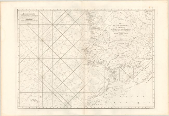
Subject: Spain & Portugal, Northwestern Africa

Period: 1775 (circa)

Publication: Le Neptune Oriental...

Color: Black & White

Size:
26.3 x 19.1 inches
66.8 x 48.5 cm
Download High Resolution Image
(or just click on image to launch the Zoom viewer)

This detailed chart extends from Cape Finisterre, Spain south to Safi, Morocco with excellent detail along the coastlines including soundings, shoals, anchorages, islands, and numerous place names. The Strait of Gibraltar and western coastlines of the Mediterranean are well developed. The chart also provides some inland detail including rivers, topography, and larger towns and cities. Decorated by rhumb lines and a compass rose with fleur-de-lis. Engraved by Guillaume Delahaye.

A French sailor and hydrographer, D' Après de Mannevillette (1707-1780) used new instruments to correct the latitudes measured by previous explorers. His atlas Le Neptune Oriental, first published in 1745, was considered a major achievement and an indispensable resource for navigators.

References:

Condition: A

A crisp impression on a clean sheet.

Estimate: $200 - $230

Unsold

Closed on 9/14/2022

Archived