Catalog Archive
Auction 189, Lot 402

"Pascaart vande Noort-Zee... / Tabula Hydrographica Oceani Borealis...", Jansson, Jan
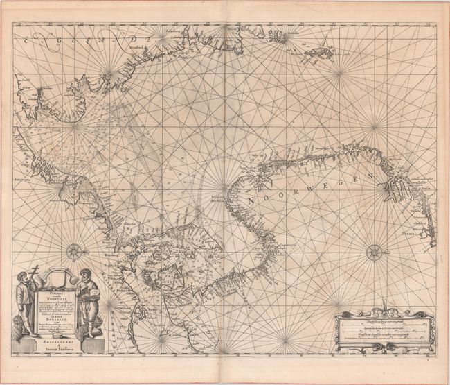
Subject: North Sea

Period: 1659 (published)

Publication: Atlantis Majoris Quinta Pars Orbem Maritimum (Atlas Novus)

Color: Black & White

Size:
21.7 x 17.1 inches
55.1 x 43.4 cm
Download High Resolution Image
(or just click on image to launch the Zoom viewer)

This chart of the North Sea shows good detail of the adjacent coastlines of England, Norway, Denmark, the Netherlands, and Belgium with numerous place names identified. It provides excellent navigational information including soundings, the location of fishing banks, shoals and other navigational hazards. Two compass roses orient the map with north to the right. The map is further adorned with a strapwork cartouche containing the distance scale and surveyor figures flanking the title. Latin text on verso.

References: Tooley (MCC-71) #350; Van der Krogt (Vol. I) #0200:1.

Condition: B+

A crisp impression with some light uneven toning and several small centerfold separations that have been archivally repaired on verso.

Estimate: $1,000 - $1,300

Sold for: $600

Closed on 9/14/2022

Archived