Subject: Wales, England & Ireland
Period: 1801 (published)
Publication:
Color: Black & White
Size:
8.6 x 11.9 inches
21.8 x 30.2 cm
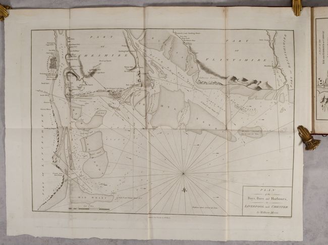
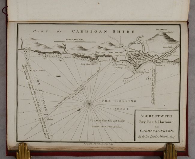
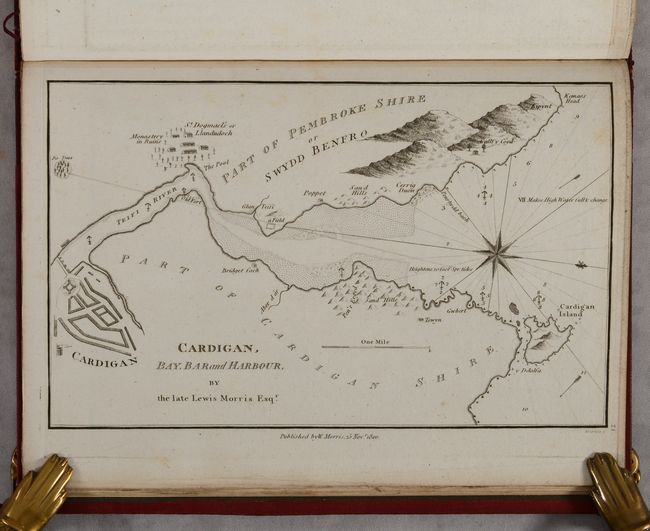
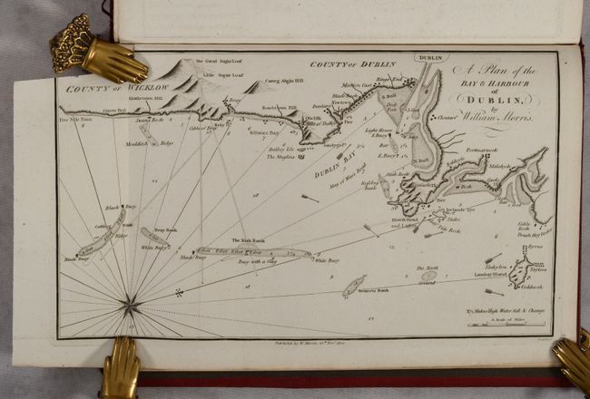
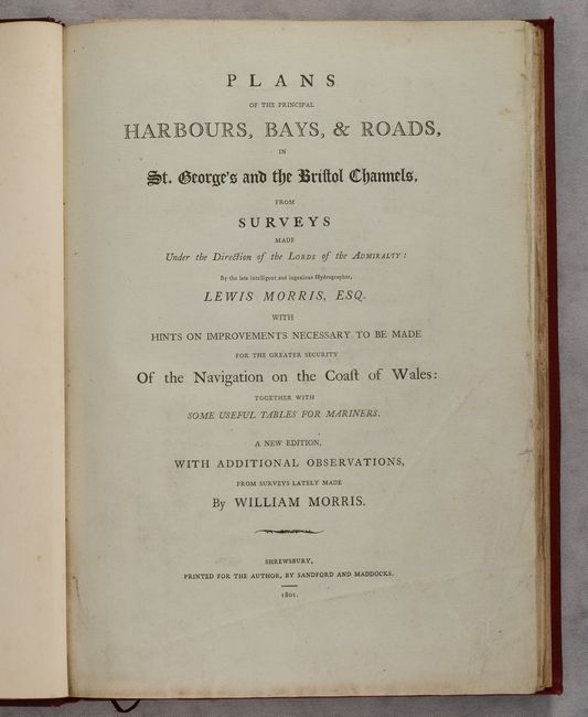
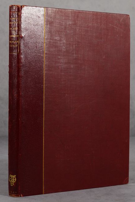
This volume containing charts primarily of the coast of Wales was first published by Lewis Morris in 1748 and updated here by his son William Morris. In the preface to the reader, William Morris explained that the Lords of Admiralty ordered his father to chart the coast of Wales, but that his father's survey "extended only from Ormes Head, near Chester Bar, to Milford Haven" and William "therefore undertook to extend them to Liverpool, and to Cardiff in the Bristol Channel, and to include the East Coast of Ireland from Dublin to Wexford, which now renders the survey of the Welsh and Irish Coasts in St. George's and the Bristol Channels complete." The volume contains 31 single-page plates of the coastlines along with a large folding Plan of the Bays, Bars and Harbours, of Liverpool and Chester (24.7 x 17.5"). The charts present excellent detail not seen in previous charts and include currents, soundings, anchorages, shoals, banks, and more. Text features a 12-page list of subscribers and 21 pages of observations. Hardbound in quarter leather over maroon cloth boards with gilt title on spine.
References:
Condition: A
Contents are mostly clean and bright with occasional minor foxing and offsetting. A former owner's bookplate is on the front pastedown. Covers are lightly worn with bumped edges.