Catalog Archive
Auction 189, Lot 389
"Royme d'Angleterre Divise par Provinces et Shires ou Comtes", Robert de Vaugondy, Gilles
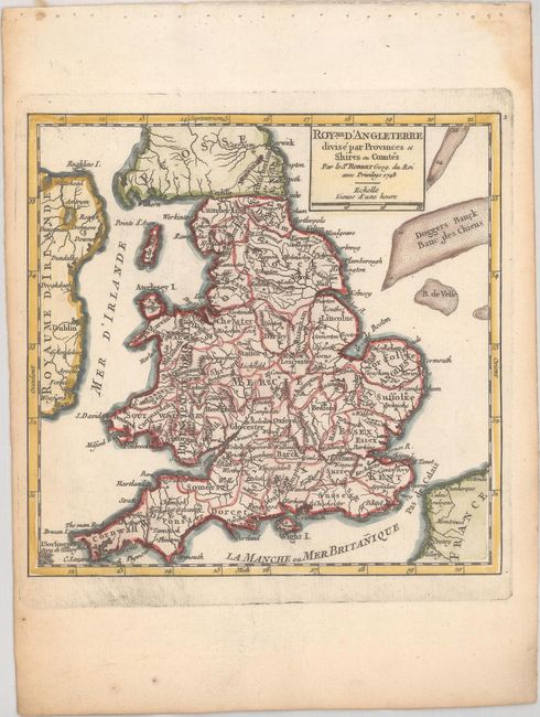
Subject: England & Wales
Period: 1748 (dated)
Publication: Atlas Portatif Universel et Militaire
Color: Hand Color
Size:
6.6 x 6.3 inches
16.8 x 16 cm
Download High Resolution Image
(or just click on image to launch the Zoom viewer)
(or just click on image to launch the Zoom viewer)