Catalog Archive
Auction 189, Lot 381

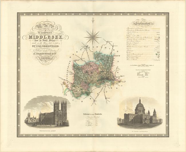
"Map of the County of Middlesex, from an Actual Survey Made in the Years 1819 & 1820", Greenwood Firm

Subject: Southern England, London

Period: 1829 (dated)

Publication:

Color: Hand Color

Size:
25.8 x 21.3 inches
65.5 x 54.1 cm
Download High Resolution Image
(or just click on image to launch the Zoom viewer)

This large and decorative map of Middlesex was published by the famous Greenwood firm. It depicts the region from London west to Uxbridge and north to Waltham Abbey. Large vignettes of Westminster Abbey and St. Paul's Cathedral are illustrated in the lower portion of the sheet with a large compass rose above the map image. The key at top right identifies boundaries, market towns, parishes, villages, various roads, canals, railways, woods, castles, churches, parks, and more.

References:

Condition: B+

On heavy paper with contemporary color, wide margins, and a "T Edmonds Wycombe Not Bleached 1833" watermark. There is light offsetting.

Estimate: $150 - $180

Sold for: $110

Closed on 9/14/2022

Archived