Catalog Archive
Auction 189, Lot 299

"Carta Esferica de una Parte de la Costa Setentrional y Meridional de la Isla de Cuba...", Direccion de Hidrografia

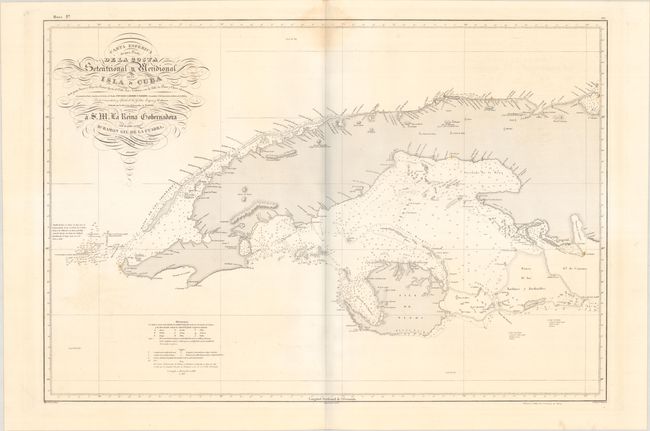
Subject: Western Cuba

Period: 1837 (dated)

Publication:

Color: Black & White

Size:
34.4 x 23.4 inches
87.4 x 59.4 cm
Download High Resolution Image
(or just click on image to launch the Zoom viewer)

This clear and detailed Spanish map of the western third of Cuba includes coastal features, soundings, navigational hazards, currents, coastal islands, lighthouses and settlements, including Havana. The chart was surveyed by the commanders of the ships Ligera and Habanera. Drawn by Miguel Moreno and engraved by Rafael Estebe with lettering by C. Marquerie. This is the first edition of the chart. Spanish sea charts are rare on the market. The embossed seal of the Direccion de Hidrografia is at bottom left.

References: Cueto #72.

Condition: B+

On a bright, sturdy sheet with a shell watermark. There is a light dampstain at top center and minor offsetting.

Estimate: $400 - $475

Sold for: $150

Closed on 9/14/2022

Archived