Subject: Southeastern Pennsylvania
Period: 1912-13 (dated)
Publication:
Color: Hand Color
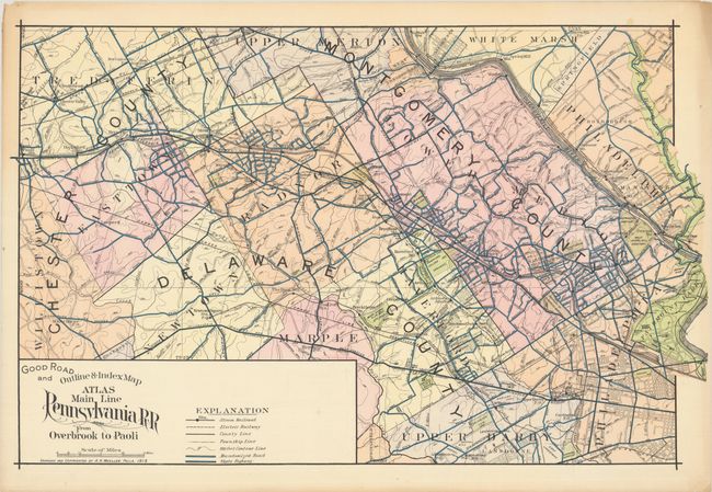
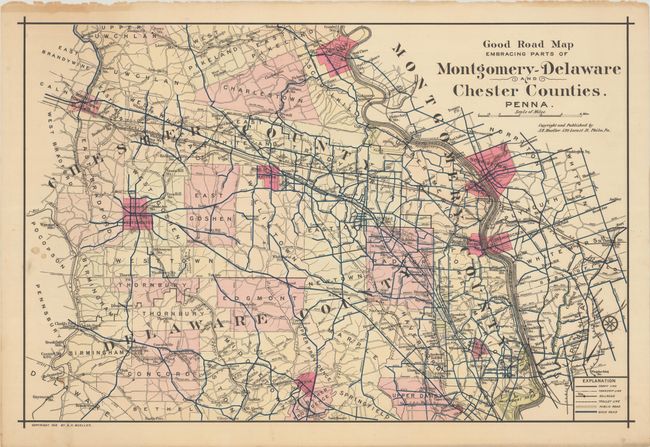
This pair of maps engraved and published by A.H. Mueller shows the roads and railroads along the Philadelphia Main Line. The first map spans from Paoli to Overbroook, with the streets of Philadelphia laid out in grid form. Its key identifies steam and electric railways, county and township lines, 100 feet contour lines, macadamized roads, and state highways. The second map extends from Philadelphia to the Delaware state line. It also shows county and township lines and railroads as well as trolley lines, public roads, and "good roads." Both maps show Bryn Mawr, Haverford, and Villanova, notable cemeteries, parks, and sports clubs.
A. Good Road and Outline & Index Map Atlas Main Line Pennsylvania RR from Overbrook to Paoli, dated 1913 (32.0 x 20.1"). Condition: Light toning and few short edge tears, all confined to the margins. (A)
B. Good Road Map Embracing Parts of Montgomery-Delaware and Chester Counties. Penna, dated 1912 (30.5 x 20.4"). Condition: A few small stains at left, with marginal toning and edge tears. (B+)
References:
Condition:
See description above.