Subject: Western United States
Period: 1881 (published)
Publication:
Color: Printed Color
Size:
29.4 x 7.8 inches
74.7 x 19.8 cm
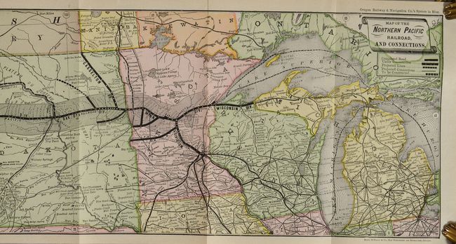
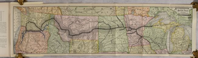
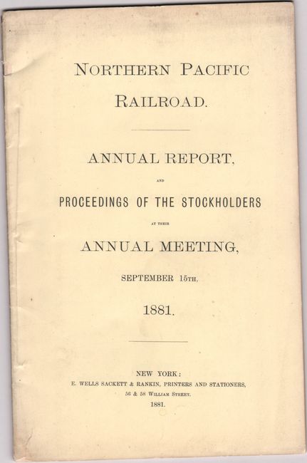
This map illustrates the construction progress of the Northern Pacific Railroad, which upon completion would connect the Great Lakes with Puget Sound. The map indicates that the vast majority of the railroad is completed, with lines under construction only in Montana. Large swaths of land adjacent to the railroad are shaded and show the vast amount of land available for sale along the route to fund construction. The 48-page report gives details on the condition of the rail lines, construction progress, and land sales. It was issued shortly after the company had been taken over by Henry Villard. While the railroad was originally chartered in 1864, due to several financial obstacles (including bankruptcy) the railroad was not completed until 1883. It continued to expand and was embroiled in the financial panics and monopolies that dominated the railroad industry at the end of the 19th century. Printed paper wrappers (5.8 x 8.9").
References:
Condition: A
Contents are clean, bright and near fine. Wrappers have minor soiling.