Catalog Archive
Auction 188, Lot 701

"Carte d'Afrique Dressee pour l'Usage du Roy", Delisle, Guillaume
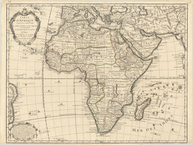
Subject: Africa

Period: 1722 (dated)

Publication: Atlas Geographique et Universel

Color: Hand Color

Size:
25.1 x 19.4 inches
63.8 x 49.3 cm
Download High Resolution Image
(or just click on image to launch the Zoom viewer)

First edition of this important, updated map of the continent and Madagascar detailing all of Africa, divided into kingdoms and tribes. The Senegal and Niger Rivers are correctly separated. In the southeastern portion of the continent Lake Moravi is shown well inland from Zanzibar. Two decorative cartouches grace the map, and the map extends to include a bit of Brazil. This is not the more common Covens & Mortier issue.

References: Norwich #78.

Condition: A

A dark impression with contemporary outline color on a bright sheet with the Society of Jesus watermark. Narrow bottom margin as issued.

Estimate: $475 - $600

Sold for: $350

Closed on 6/22/2022

Archived