Catalog Archive
Auction 188, Lot 640

"Tabula Tartariae et Majoris Partis Regni Chinae", Wit, Frederick de

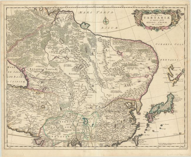
Subject: Northern Asia

Period: 1670 (circa)

Publication:

Color: Hand Color

Size:
21.8 x 17.3 inches
55.4 x 43.9 cm
Download High Resolution Image
(or just click on image to launch the Zoom viewer)

Fine map of the region from the Caspian Sea through China and Japan. Eastern Russia is truncated with no Kamchatka peninsula and Yedso is shown according to the voyages of De Vries. The Great Wall is prominently shown separating China from the interior deserts. The mythical Chiammay Lacus is shown with its five major rivers. A strapwork title cartouche with two putti and a compass rose ornament the chart. Engraved by Lhuilier.

References:

Condition: B+

A nice impression with light soiling and some short edge tears that have been archivally repaired.

Estimate: $300 - $375

Sold for: $180

Closed on 6/22/2022

Archived