Catalog Archive
Auction 188, Lot 551

"Italia Gallica sive Gallia Cisalpina ex Conatibus Geographicis Abrah. Ortelij", Jansson, Jan

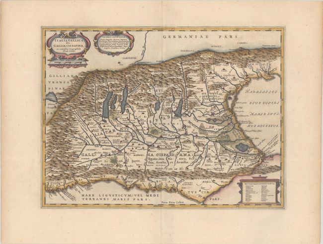
Subject: Northern Italy

Period: 1662 (circa)

Publication: Nouvel Atlas

Color: Hand Color

Size:
18.2 x 13.6 inches
46.2 x 34.5 cm
Download High Resolution Image
(or just click on image to launch the Zoom viewer)

Handsome map of northern Italy showing the region during Roman times. The map was copied from Abraham Ortelius' map, which in turn was based on classical sources including Livius, Ausonius, Tacitus, Cato, Linius, Polybius and Cassidore. The Roman road, Aurelia via Antonino, is shown along the southern coast and into the important marble quarry district. Richly decorated with three cartouches and engraved by Pieter van den Keere (Petrus Kaerius). French text on verso.

References: Van der Krogt (Vol. I) #7010H:1.

Condition: A

A nice impression with attractive color and wide, original margins.

Estimate: $275 - $350

Sold for: $200

Closed on 6/22/2022

Archived