Catalog Archive
Auction 188, Lot 502

"Il Regno di Ungheria di Nuova Projezione", Zatta, Antonio

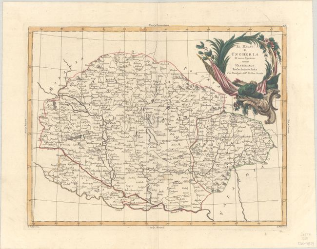
Subject: Hungary & Slovakia

Period: 1781 (dated)

Publication: Atlante Novissimo

Color: Hand Color

Size:
16 x 12.4 inches
40.6 x 31.5 cm
Download High Resolution Image
(or just click on image to launch the Zoom viewer)

This copper engraved Italian map centers on Debrecen and covers present-day Hungary, Slovakia, Transylvania and western Romania, and northern Serbia. It extends from Presburg (Bratislava) east to Cronstat (Brasov), and from the southern Polish border to the Belgrade. There are several towns and cities identified and good topographical detail. The top right corner of the map is dominated by a striking title cartouche with a martial theme. Engraved by G. Zuliani, with lettering by G. Pitteri.

References: Shirley (BL Atlases) T.ZAT-1a, Vol. 2 #21.

Condition: A

A nice impression on watermarked paper with a small spot of soiling.

Estimate: $140 - $180

Unsold

Closed on 6/22/2022

Archived