Catalog Archive
Auction 188, Lot 469

"Ducatus Holsatiae Nova Tabula", Hondius, Henricus

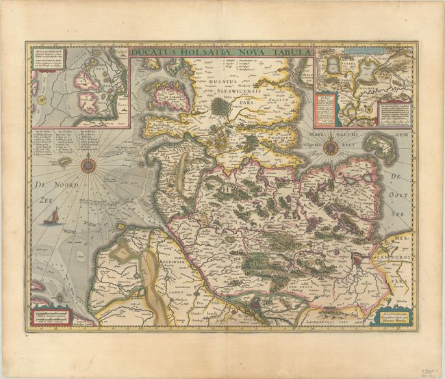
Subject: Northern Germany

Period: 1638 (published)

Publication: Atlas Novus

Color: Hand Color

Size:
20.3 x 15.1 inches
51.6 x 38.4 cm
Download High Resolution Image
(or just click on image to launch the Zoom viewer)

This decorative map depicts the Schwesig-Holstein region of present-day Germany, extending south to Hamburg. The inset at top left depicts the Halligen along the western coast, and the inset at right depicts several small lakes just south of Hollingstedt. The map is adorned with two compass roses and the North Sea is filled with depth soundings and a sailing ship. Latin text on verso.

References: Van der Krogt (Vol. I) #1660:1B.1.

Condition: A

A crisp impression with contemporary color. There is light soiling in the blank margins.

Estimate: $160 - $190

Sold for: $120

Closed on 6/22/2022

Archived