Catalog Archive
Auction 188, Lot 438

"Caletensium et Bononiensium Ditionis Accurata Delineatio [on sheet with] Veromanduorum Eorumque Confinium Exactissima Descriptio. Iohanne Surhonio Auctore", Ortelius, Abraham

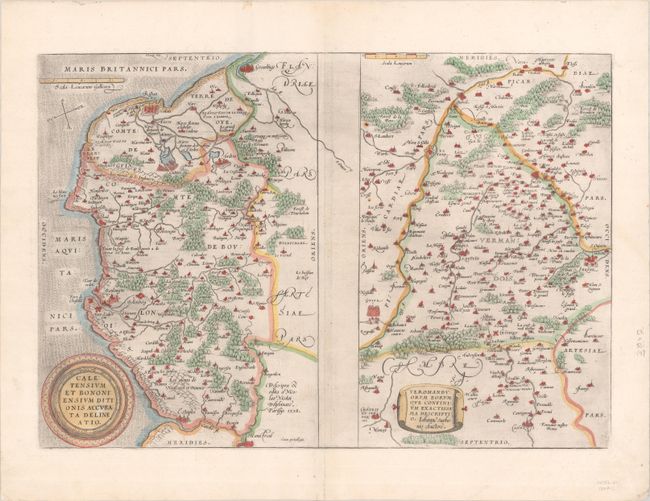
Subject: Northern France

Period: 1579 (published)

Publication: Theatrum Orbis Terrarum

Color: Hand Color

Size:
19.1 x 13.1 inches
48.5 x 33.3 cm
Download High Resolution Image
(or just click on image to launch the Zoom viewer)

Two maps on a folio sheet. Calentensium covers the coastline between Calais and Estaples in very good detail, based in part on a four-sheet map by Nicolas de Nicolay. Veromanduorum covers a small region surrounding Saint-Quentin in northern France. The cartographical source of the map was Jean de Surhon who received royal privilege to make a map of the region in 1557. Each is covered with tiny forests and cities and has a decorative title cartouche. Latin text on verso. This map was replaced in 1598 with a map showing the Veromanduorum region with north at the top.

References: Van den Broecke #44.

Condition: A

On a sheet with the watermark of the Austrian coat of arms and light printer's ink residue. There are a few small wormholes and a centerfold separation at bottom, all confined to the margins.

Estimate: $140 - $170

Sold for: $70

Closed on 6/22/2022

Archived