Subject: Low Countries, Atlases
Period: 1652 (circa)
Publication:
Color: Black & White
Size:
13.3 x 20.5 inches
33.8 x 52.1 cm
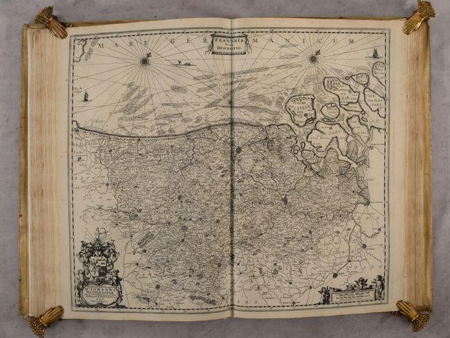
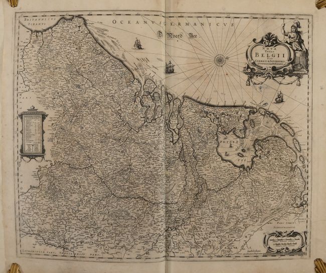
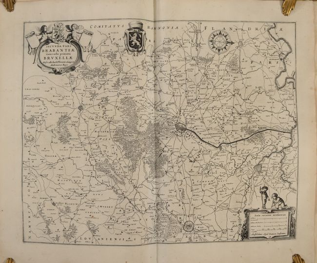
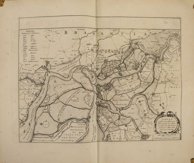
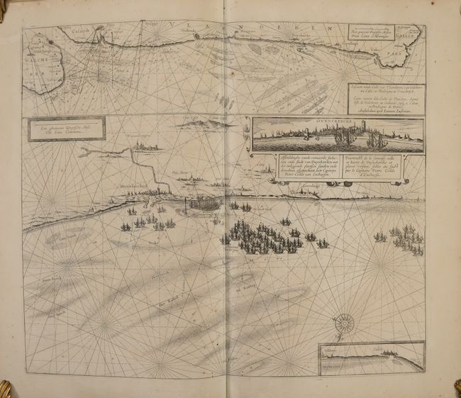
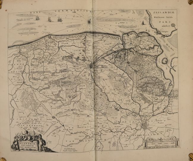
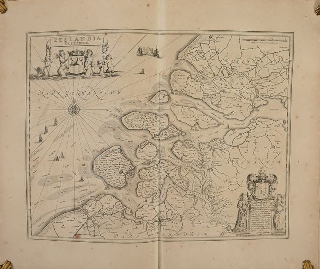
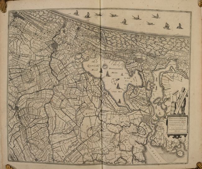
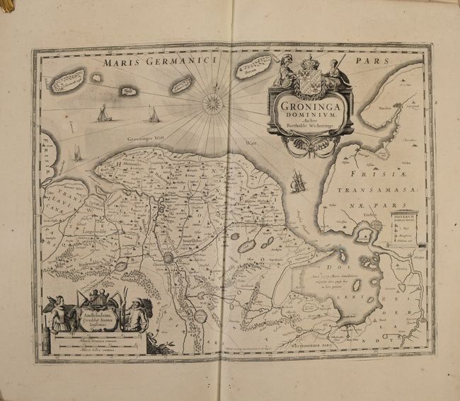
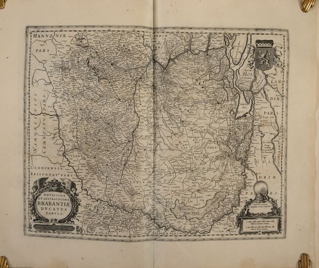
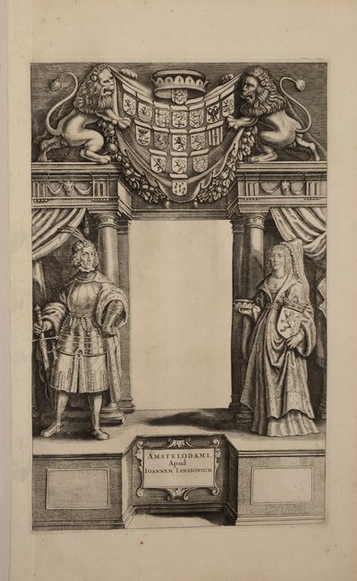
Although the title page is left blank, this is a French edition of Volume II, Part 2 of Jansson's Atlas Novus, which covers the Low Countries. It contains 40 maps of the Netherlands, Belgium and Luxembourg with accompanying text, as well as a decorative (untitled) title page and table of contents. The maps are all beautifully engraved with strapwork cartouches and numerous decorative elements. See photos for the list of maps. The title page features a man in armor, a woman holding the coat of arms for Holland, and two lions holding up a drape with various arms from the region. Atlas titles were typically printed on separate sheets and then pasted onto the blank area in the center of the title page, but occasionally one finds examples without the title added.
The Atlas Novus was issued during a time of fierce competition in Amsterdam between the Hondius-Jansson and Blaeu publishing houses. While Hondius and Jansson titled their multi-volume work Atlas Novus, Blaeu titled his work Novus Atlas. The Atlas Novus began as a three-volume world atlas, but over the years Jansson added additional volumes with more detailed maps of various regions in response to his rival, so that the final full work was comprised of 6 volumes.
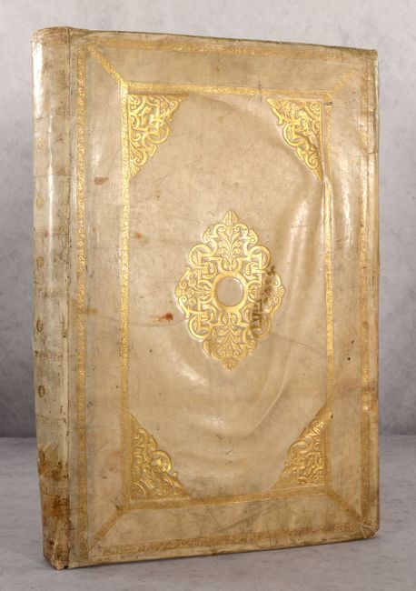
Elephant folio. Title page; 40 maps with accompanying text (unpaginated); list of maps. Hardbound in full contemporary vellum with covers paneled in gilt decorations, with additional gilt decorations on spine.
References: Van der Krogt (Vol. I) #1:416.2.
Condition: B+
The maps are mostly in very good (B+) condition with light toning and foxing and some tiny worm tracks along the centerfold within the first half of the volume. A few maps have small abrasions or creases in the image. Four of the maps are in near fine (A) condition, and 6 maps are in good (B) condition with more noticeable toning and foxing. The covers are well worn and a bit warped with soiling and bumped corners. The spine is soiled with a few small cracks and worm tracks. There are a few small remnants of old labels and cello tape on the covers. The volume has been professionally conserved with tissue repairs made along the centerfold of a number of maps due to the tiny worm tracks and the maps have been reattached with new guards. New endpapers have also been added.