Catalog Archive
Auction 188, Lot 425

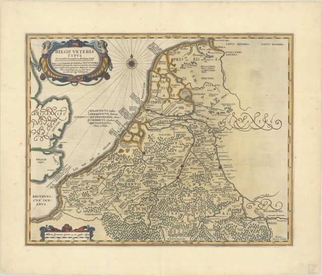
"Belgii Veteris Typus ex Conatibus Geographicis Abrahami Ortelii", Hondius/Jansson
Subject: Low Countries

Period: 1638 (published)

Publication: Atlas Novus

Color: Hand Color

Size:
19 x 15.1 inches
48.3 x 38.4 cm
Download High Resolution Image
(or just click on image to launch the Zoom viewer)

This fine map covers the historic region of Belgium and the Netherlands. It is based on Ortelius' map of the same title, which used classical sources, most notably Caesar. It is richly engraved with forests, rivers, and cities and a bold cartouche flanked by harpies. A compass rose and strapwork distance scale cartouche round out the composition. Engraved by Petrus Kaerius, with his imprint in the bottom right corner. Latin text on verso.

References: Van der Krogt (Vol. I) #3000H:1A.2.

Condition: A

A sharp impression with a few small spots in map image.

Estimate: $275 - $350

Sold for: $140

Closed on 6/22/2022

Archived