Subject: Europe, Atlases
Period: 1762 (published)
Publication:
Color: Hand Color
Size:
8.3 x 10.3 inches
21.1 x 26.2 cm
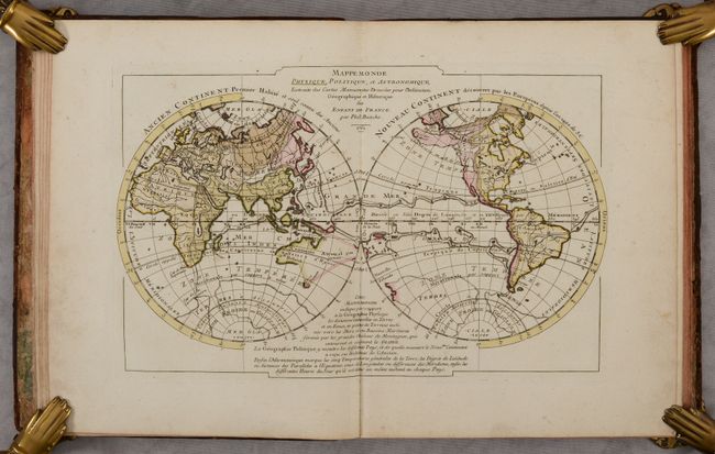
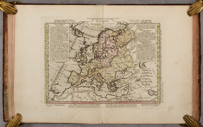
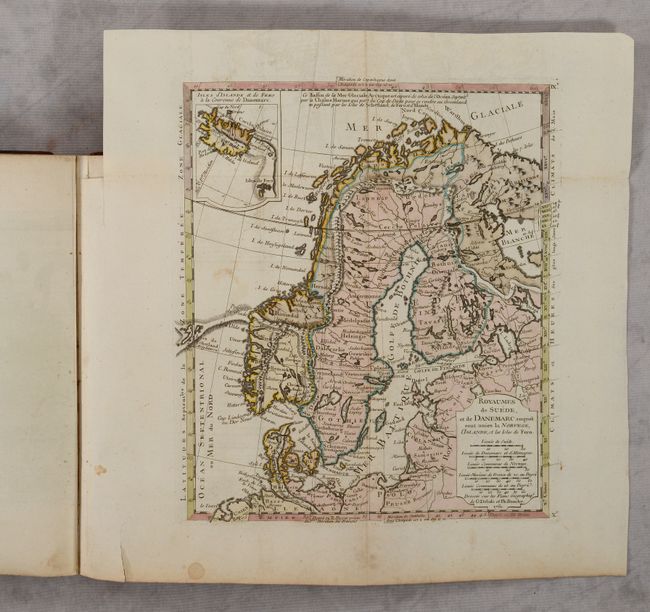
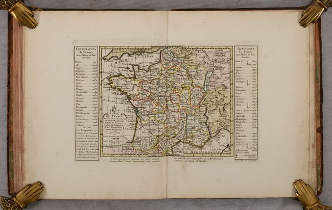
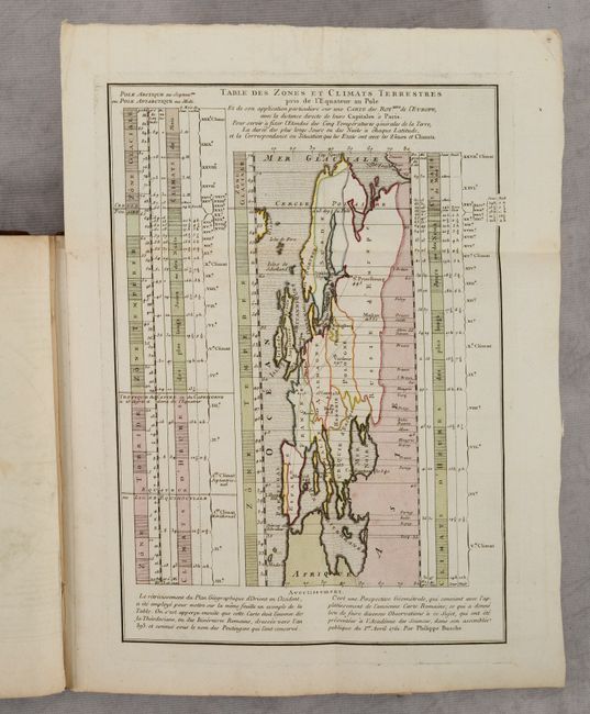
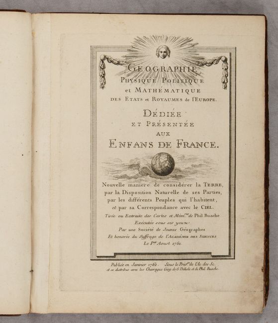
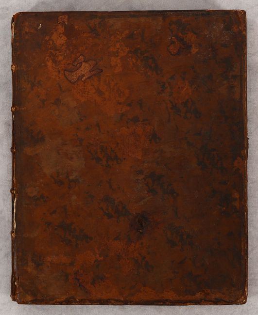
This atlas focused on the physical and political geography of Europe was "dedicated and presented to the children of France." It contains a total of 27 maps (2 folding, 25 double-page) and 5 tables. There are 3 world maps and two sections each with 11 maps showing physical and political geography including: Europe, Spain/Portugal, France, Italy, Germany, Turkey, Poland, Russia (2), Scandinavia (folding), and the British Isles. The atlas features an additional map of France with tables showing the dates various universities and academies were established, as well as an unusual chart flanked with tables showing climatic zones across Europe. Philip Buache was one of the foremost cartographers of the 18th century, following in the footsteps of Guillaume Delisle as Geographer to the King. He is particularly noteworthy for his works on theoretical cartography as displayed here. Hardbound in full contemporary leather with raised bands and gilt decorations on spine.
References: cf. Shirley (BL Atlases) T.BUA-3a.
Condition: B+
The maps have contemporary color and are very good to near fine with an occasional spot of foxing and minor soiling in the margins. The front board is very loose and the covers have numerous scuffs and abrasions.