Catalog Archive
Auction 188, Lot 343

"'T Noorder Gedeelte van Virginie, door Bartholomeus Gosnol en Martin Pringe, uyt Engeland Bevaaren", Aa, Pieter van der

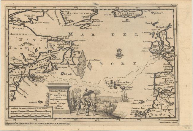
Subject: North Atlantic

Period: 1714 (circa)

Publication:

Color: Black & White

Size:
9 x 6 inches
22.9 x 15.2 cm
Download High Resolution Image
(or just click on image to launch the Zoom viewer)

This interesting map of the North Atlantic shows parts of the European, African and American continents with Iceland and Greenland at top. From the report of Martin Pring's journey from England to New England in 1603, the sea routes of Captain Pring from the British Isles through the Azores to Plymouth are depicted. Virginia extends into what is present-day Massachusetts as well as the Chesapeake Bay area. The large title cartouche is surrounded by a fabulous scene of the colonists and Native Americans greeting each other.

References:

Condition: B+

A dark impression, issued folding on a lightly toned sheet with a few spots of foxing.

Estimate: $400 - $475

Sold for: $220

Closed on 6/22/2022

Archived